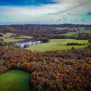
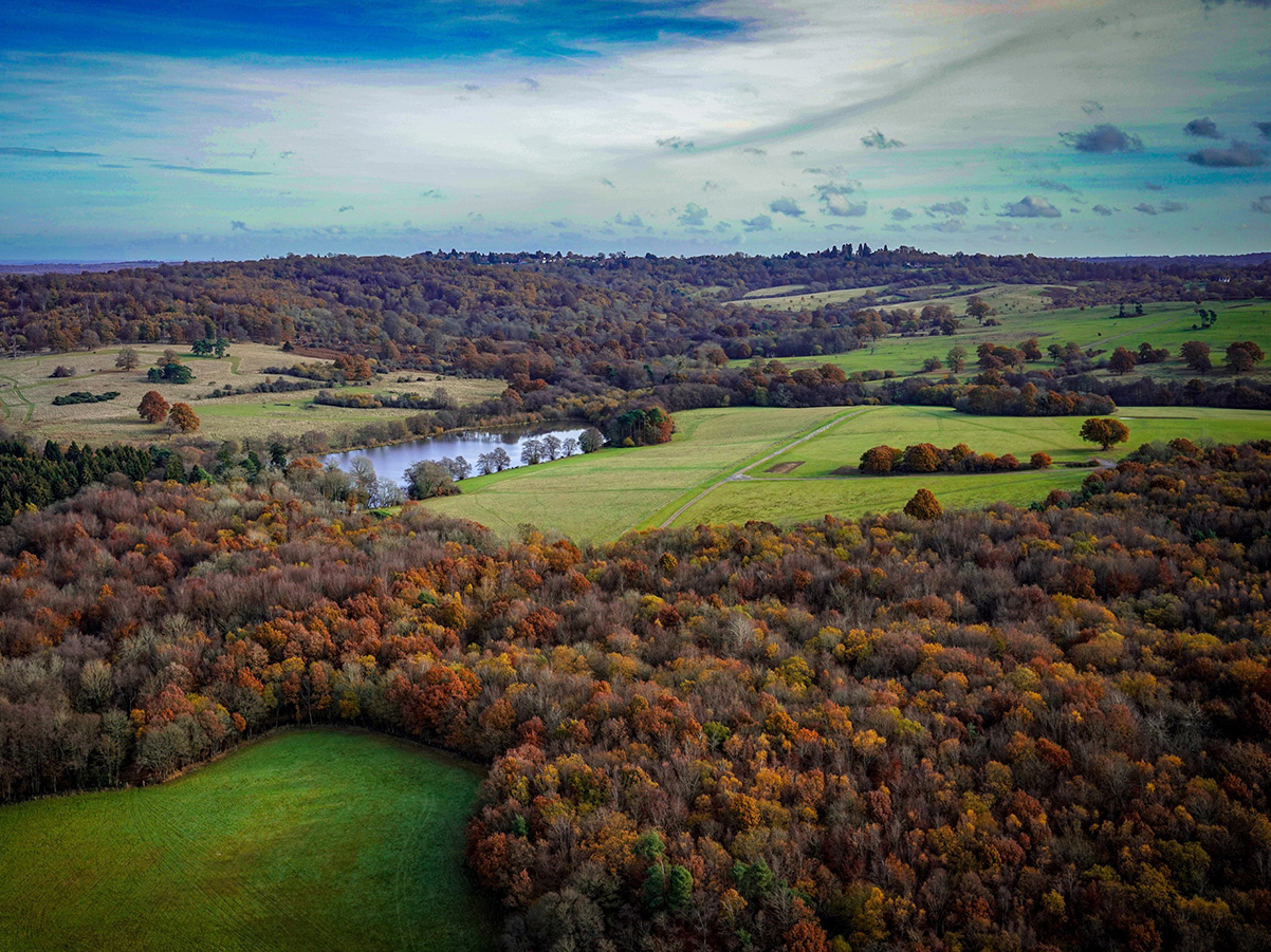
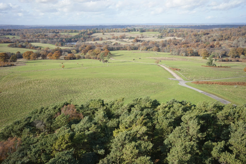
LDS logo
  • About
  • Services
    • Topographic Surveys
    • Measured Building Surveys
    • Setting Out
    • Boundary Surveys
    • Mapping
    • Drone & Aerial Surveys
    • Other Services
  • Case Studies
  • Contact
LDS logo
Call us for a quote today
  • About
  • Services
    • Topographic Surveys
    • Measured Building Surveys
    • Setting Out
    • Boundary Surveys
    • Mapping
    • Drone & Aerial Surveys
    • Other Services
  • Case Studies
  • Contact
Drone Survey of Parkland

Case Study: Drone Topographic Survey of 600ha Parkland in Tunbridge Wells

LDS carried out a topographic survey of 600ha of parkland in collaboration with our drone survey partners

Drone Survey of Parkland

The brief/project

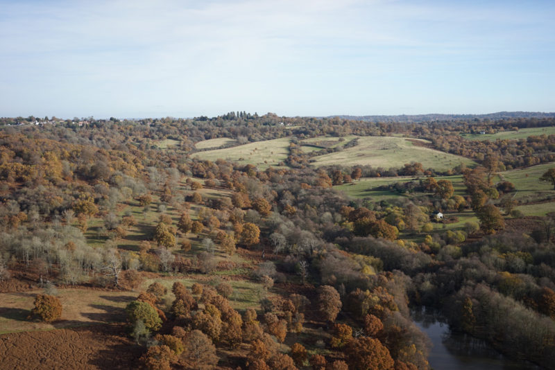
Our client requested a survey of a 600 hectare area of parkland which hosts an annual music event.

The survey would allow for the planning of staging areas and facilities for festival-goers, as well as provide an invaluable asset-management resource for the park going forward

The solution

Due to the vast size of the area involved, LDS brought in our drone survey partner.

LDS spent a day establishing ground control points across the site, and DTA took four days to fly the area, producing ortho-mosaic photos and a point cloud of data

Drone Survey of Parkland

The outcome

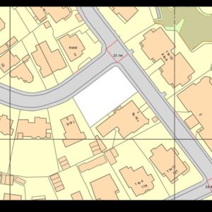
Our topographic survey was drawn from the aerial photography with levels and contours derived from the 3D point cloud. The drawing took four days to produce, and we believe that at the time this was the largest land topographic survey conducted by UAV in the UK.

Not only was the client provided with the survey data, but also the fantastic imagery and video from the drone which they were able to use for promotional purposes. LDS have also returned to site in subsequent years in order to mark out positions for event installations

Survey of Fire Damaged Property (Salisbury)

Setting Out a New Build (London)

MBS – Grade II Listed House (Dorset)

Drone Survey of Parkland

Drone Survey of Parkland (Tunbridge Wells)

Boundary Survey & Land Registry Plans (Bournemouth)

Topographic Survey (Istanbul)

Topographic Survey Residential Plot

Topographic Survey (Salisbury)

Detailed floor plan example drawing

Interior Design-Spec MBS (Windsor)

Topographic Survey & MBS (Wiltshire)

Street Elevations (Dorchester)

Guinness World Record Measuring (Poole)

MBS of Former School (Bournemouth)

View other case studies
MBS – Grade II Listed House (Dorset) Boundary Survey & Land Registry Plans (Bournemouth)

Proud to work alongside

LDS logo

Follow our journey:

Get in touch

  • Unit 15, Glenmore Business Park Telford Road, Salisbury, Wiltshire SP2 7GL
  • 01722 338232

Useful Information

  • About
  • Services
  • Case Studies
  • Contact
  • Privacy Policy
  • Terms & Conditions

© 2025 LDS. All Rights Reserved. All trademarks are the property of their respective owners. Land Development Services Ltd, Apothecary House, 32 Fowlers Road, Salisbury, Wiltshire, SP1 2QU / Registered in England: No.4295774 | Website by Blue Bee