About our Topographic Surveys
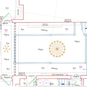
A topographic survey (sometimes called a land survey) is a highly detailed visual record of the man-made and natural features over an area of land. The data consists of the position and level of each feature, together with a description.
What's involved?

Topographic Survey
Our topographic surveys show man-made features (buildings, surfaces, boundaries, services, etc) in relation to the natural features around them, providing a comprehensive record of the landscape which can be used for the basis of accurate design

GPS
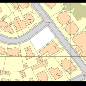
Our surveys are usually carried out to Ordnance Survey datum and grid, allowing them to be positioned within their wider context. If required, we can also overlay OS mapping onto our data

Street Scene Elevations
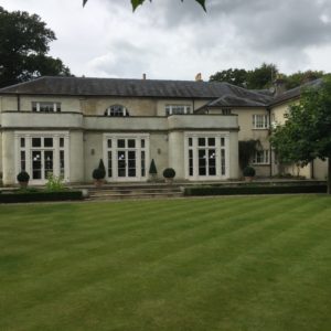
It is sometimes necessary to show the existing street scene of a property or piece of land in order to assess the impact of a proposed development on neighbouring properties



Request a quote today!
Contact the team to discuss what surveying services we can provide you with
Contact UsTopographic Survey FAQs
What is a topographic survey?
A topographic survey presents man-made features (buildings, surfaces, boundaries, services, etc) in relation to the natural features around them. The position of each feature is recorded together with a description and level/height.
Why would I need a topographic survey?
Topographic surveys are essential for architects, engineers, developers and designers in providing them with accurate and reliable information. This can then be used for the basis of design work, seeking planning permission, or simply to maintain a record of the land.
What will I receive once the survey is completed?
Your survey data is processed and produced as clear, professional CAD drawings to standard scales (typically 1:100 or 1:200).
We supply files in AutoCAD DWG and PDF formats, along with site photographs. Hard copies can also be provided if required. We’re always happy to share example drawings so you know exactly what to expect.
How much does a topographic survey cost?
Each job is priced individually, and the cost is based on the time we estimate to be required. This will vary depending on the size of the survey area, as well as site conditions and the survey specification requested. We will provide you with a quotation so that you are aware of all costs before any work is instructed.
How long does a topographic survey take?
Most residential plots can be surveyed within a day, while larger or more complex sites will require additional time.
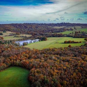
For extensive areas, drone surveys can often speed up data capture. Final drawings are usually issued within a week of the site visit, and we always try to accommodate tight deadlines where possible.
What equipment will be used?
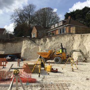
Surveyors mainly use total stations set up on tripods around the site. We also use GPS technology to position the survey. On particular sites, carrying out the survey via laser scanner or drone may be more appropriate, but you will receive the same detail and accuracy of data
Who carries out the survey?
We have a team of surveyors, all with recognised qualifications. We are also full members of The Survey Association and are regulated by the RICS
What is not included in a topographic survey?
Topographic surveys focus on external site features only. Internal floor plans and building elevations require a Measured Building Survey.
Underground utility tracing, building condition reports and detailed boundary analysis are separate specialist services. We can advise and quote for these if needed.