About our Boundary Surveys
Boundaries in the UK operate on a feature-based system using Ordnance Survey mapping. When transferring land or establishing boundary positions, the involvement of a professional and experienced surveyor is usually necessary to ensure that this is done correctly.
What's involved?

Transfer Plans
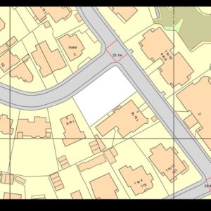
A Land Registry compliant plan is required as part of the conveyancing process when the ownership of land changes. Most land is already registered, but it may be that the land is being split up (transfer of part) or it is unregistered land (first registration), and a land surveyor is required to create a suitable plan

Boundary Agreements
Agreements over the legal position of, or the obligation to maintain a boundary, may sometimes require a measured survey of the boundary to provide a supporting scale plan

Determined Boundaries
In cases where the exact line of a boundary has been agreed between all owners concerned, an owner may apply for a determined boundary to create a record of this in the register.
Sufficient evidence will be required and this will usually be in the form of an accurate, scale drawing with annotated measurements or coordinates, signed by all parties
Request a quote today!
Contact the team to discuss what surveying services we can provide you with
Contact UsView our case studies





Boundary Survey FAQs
What is a boundary survey?
A boundary survey focuses on the boundary features of a site – walls, fences, hedges, ditches, etc. Major features or structures may also be measured to provide context. Other detail such as level/height information is not typically relevant to a boundary survey, and so will not be presented. The purpose of a boundary survey would be to record the location of boundary features and provide clarity over the position of the boundary
What is involved?
A boundary survey typically begins with a desktop exercise researching what documents, records and photographs are available, including Ordnance Survey data, Land Registry title plans and transfer documents
If boundaries are unclear or new ones are being created, we carry out a measured site survey to capture the relevant features. Where required, we can also mark out new boundary lines on site ready for fencing or construction.
I may have a dispute with my neighbour – can you help?
Boundary disputes are best avoided if at all possible. Once they descend into legal territory, they become expensive and draining for all parties. We are able to assist by reviewing documents, measuring features on site, overlaying the various plans available with actual site data, and preparing an impartial report of our findings
We do not make court representations or take matters beyond compiling our boundary report. At this stage, it is the solicitors who use the report to progress towards a resolution
It is important to remember that we may not be able to provide you with definitive answers to boundary queries – we are limited by the information available. Old documents may not survive or no longer be available, or they may be inconclusive
I’m buying or selling some land – can you help?
Absolutely. When land is transferred, split or registered for the first time, the Land Registry requires an accurate, compliant plan.
We produce clear transfer plans that meet Land Registry specifications and work closely with solicitors to ensure colouring, dimensions and boundaries align with the legal documentation. We understand that these plans are often time-critical and work efficiently to meet completion deadlines.
How much does a boundary survey cost?
Every site and situation is different, so costs vary depending on factors such as site size, boundary complexity, access and the level of research required.
We price each project individually and provide clear quotes for the initial survey and reporting. Any additional work is discussed and agreed with you in advance.
Who carries out the survey?
We have two boundary specialists within the company, both with recognised qualifications. They can be assisted by other members of our team when needed. We are also full members of The Survey Association and are regulated by the RICS