LDS logo
  • About
  • Services
    • Topographic Surveys
    • Measured Building Surveys
    • Setting Out
    • Boundary Surveys
    • Mapping
    • Drone & Aerial Surveys
    • Other Services
  • Case Studies
  • Contact
LDS logo
Call us for a quote today
  • About
  • Services
    • Topographic Surveys
    • Measured Building Surveys
    • Setting Out
    • Boundary Surveys
    • Mapping
    • Drone & Aerial Surveys
    • Other Services
  • Case Studies
  • Contact

Quality Land & Building Surveys by LDS

Our precise and thorough surveys provide you with the power of spatial information, bringing you the knowledge of area, terrain and features and the relationship between them

Surveys you can trust, carried out with care, attention, and accuracy

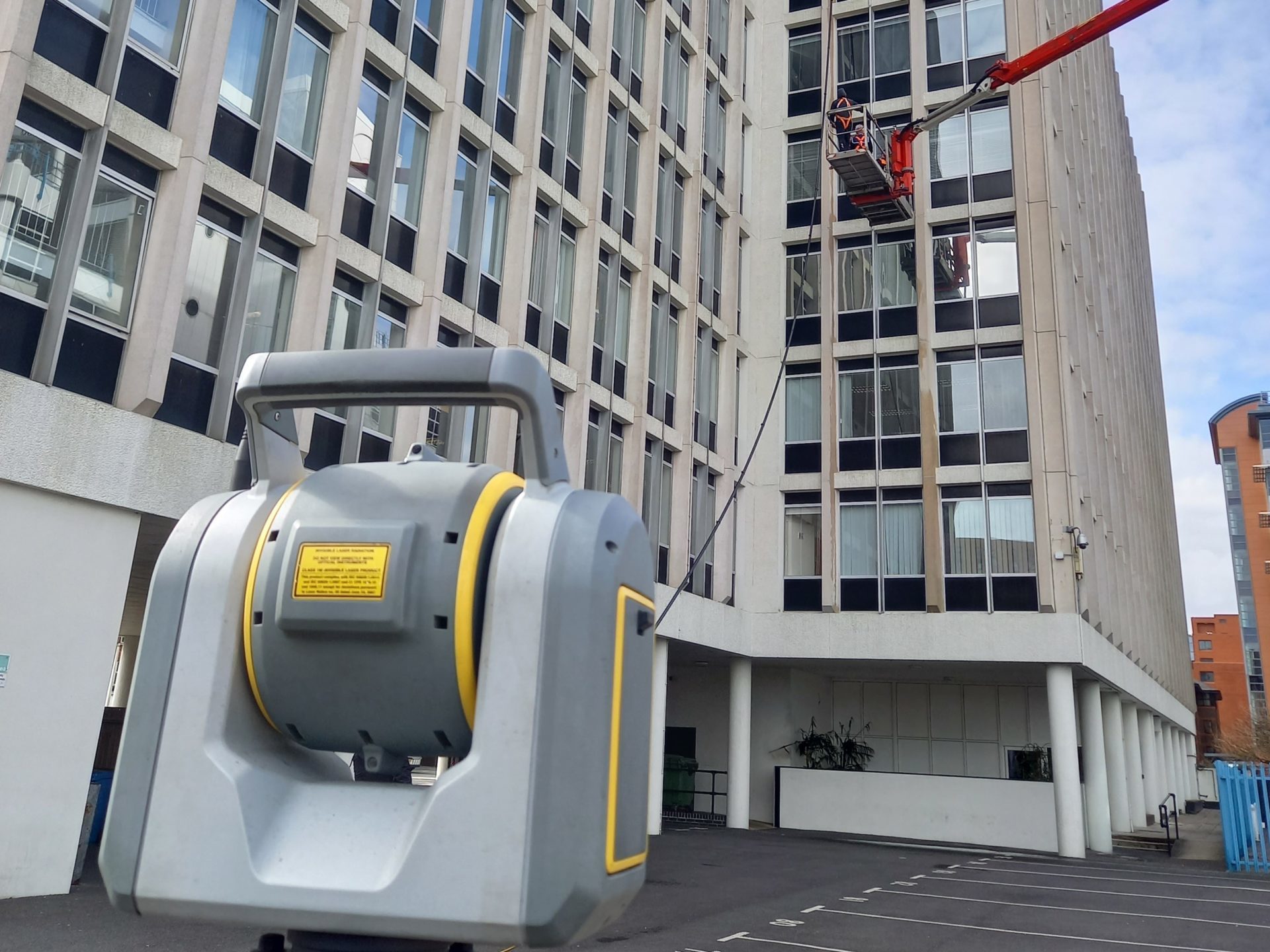
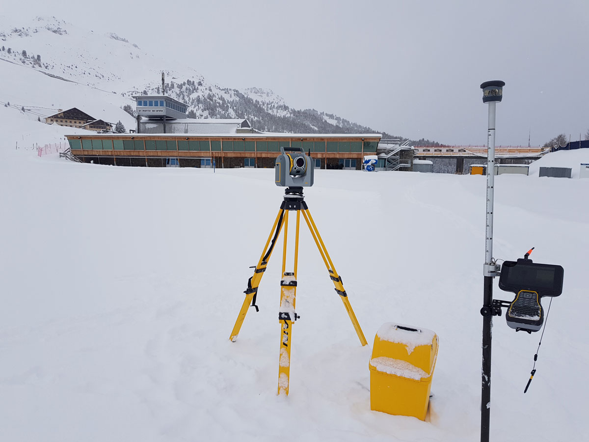
We are a team of experienced and committed surveyors, experts in gathering and presenting high-quality spatial data. Using a range of total stations and laser scanners we offer accurate data capture and detailed, high-spec drawings

Our services

Land & Topographic Surveys
Find out more

Land & Topographic Surveys

A topographic survey is a highly detailed map of the man-made and natural features over an area, allowing you to fully understand the land and plan accordingly.

Measured Building Surveys
Find out more

Measured Building Surveys

Having accurate floor plans, elevations and cross-sections provide you with all the elements required for future design work. Our comprehensive surveys put this information at your fingertips

Setting Out
Find out more

Setting Out

Our experienced setting out engineers are on hand to ensure that the build/install process goes to plan and on schedule

boundary surveys
Find out more

Boundary Surveys

You may need a boundary survey for conveyancing, Land Registry or legal purposes. Our trusted boundary surveys have assisted many people and organisations over the years

drone from above
Find out more

Drone & Aerial Surveys

For some large areas of land or for buildings with detail that cannot be fully surveyed from ground level, employing the capabilities of a drone is the best option

GPS pin and map
Mapping

Mapping

We carry out all kinds of mapping for estate management, including land use plans, tenancy/lease plans, sale plans, Section 31-6 plans, valuation plans and more

Other Services

The above services can be carried out as standalone projects or with various combinations depending upon your requirements. We can also undertake as-built surveys, precise levelling, volume calculations, and monitoring surveys

Find out more

Case Studies

View all case studies

MBS of Former School

Read more

Guinness World Record Measuring

Read more

Street Elevations

Read more

Proud to work alongside

LDS logo

Follow our journey:

Get in touch

  • Unit 15, Glenmore Business Park Telford Road, Salisbury, Wiltshire SP2 7GL
  • 01722 338232

Useful Information

  • About
  • Services
  • Case Studies
  • Contact
  • Privacy Policy
  • Terms & Conditions

© 2025 LDS. All Rights Reserved. All trademarks are the property of their respective owners. Land Development Services Ltd, Apothecary House, 32 Fowlers Road, Salisbury, Wiltshire, SP1 2QU / Registered in England: No.4295774 | Website by Blue Bee