North Dorset Railway - Topographic Survey
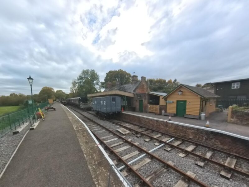
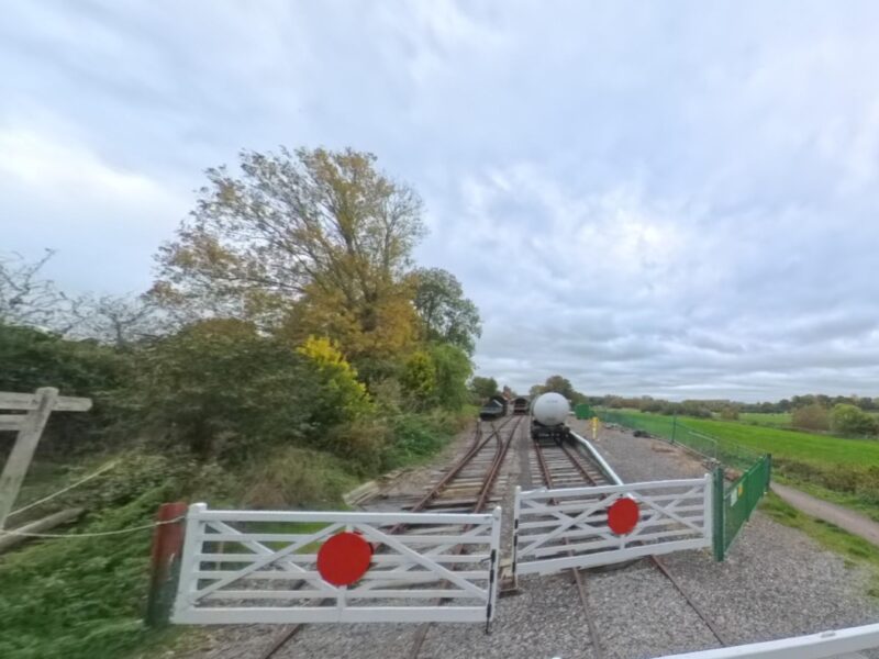
LDS Surveys was asked by North Dorset Railway, a heritage railway and museum, to carry out a detailed topographic survey of a section of restored track and its surrounding environment.
The project forms part of ongoing restoration works to reinstate half a mile of original railway line, making it accessible for visitors and supporting future development of the site.
The Brief
The client required an accurate and detailed record of both the existing railway track and the surrounding land.
The data would be used for a number of different things for the project. It will serve as both a baseline survey and to inform future planning, restoration works and ongoing maintenance of the railway infrastructure.

The Challenges
The project raised several technical challenges:
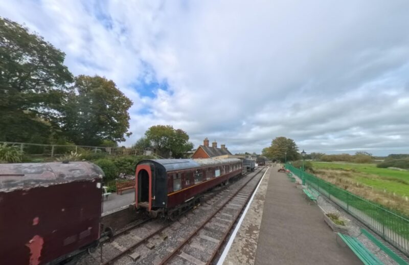
- The railway track included a complex infrastructure, requiring high levels of detail to get an accurate measurement
- Traditional survey methods alone would have been time-intensive, so LDS had to use our experience to adapt
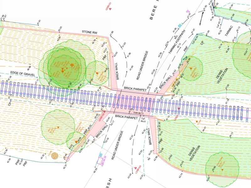
- A comprehensive record was needed, capturing individual sleepers, fixings and track components
- Data needed to be accurately related to the Ordnance Datum and the grid via GPS
All of this needed to be achieved, both speed and precision, so the work could continue without disruption.
The Solutions & Method
The complex nature of the track infrastructure meant that LDS adopted a hybrid survey approach to maximise both efficiency and accuracy.
A total station was used to capture the wider site and establish accurate survey control, which meant that the requirement of tying all data into Ordnance Datum and grid via GPS was achieved.
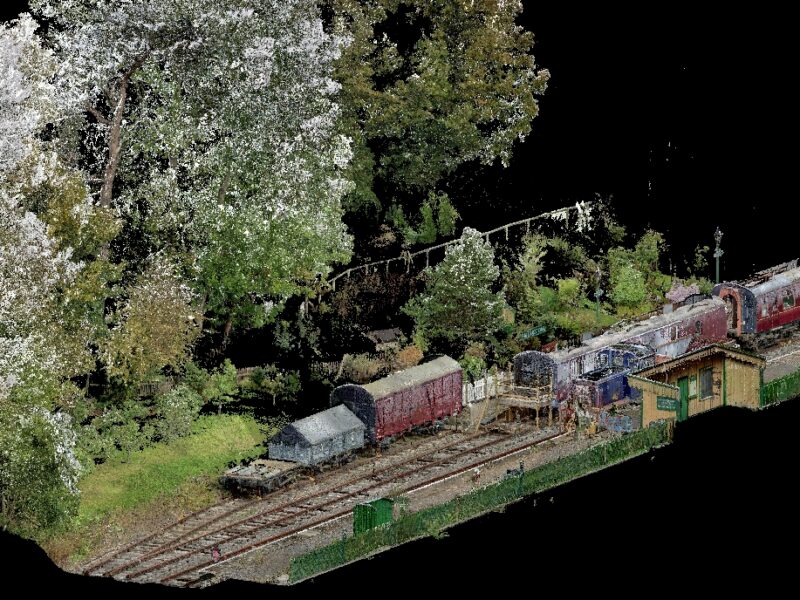
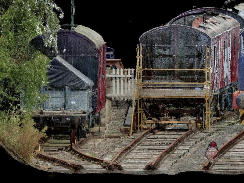
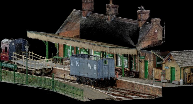
For the railway track itself, we used a combination of terrestrial and mobile (handheld) laser scanners to capture the finer details. This allowed us to quickly gather enough data to accurately record individual sleepers, fixings and track components.
All data was then combined, giving our drawing team a complete and highly detailed record of the site.
The Results
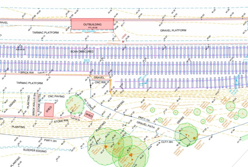
The survey was completed over five days across two site visits, with the final results delivered in line with the client’s specification.
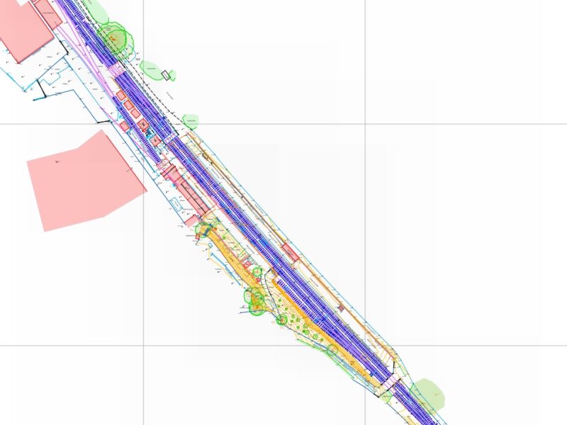
We produced a detailed, multi-page topographic survey at scales of 1:1000 and 1:250, supported by a full set of geo-located site photographs.
The level of detail achieved provides the client with a comprehensive and accurate foundation for future planning, restoration and maintenance works.
What the client said...
‘LDS were a pleasure to work with and their survey, right down to the last sleeper (!), was excellent. We look forward to working with them again on the next stage of our project’.
Peter Morse, North Dorset Railway, Planning and Development Committee.