Battersea Power Station Topographic Survey and Façade Elevation
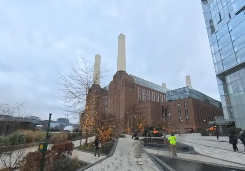
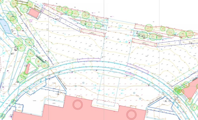
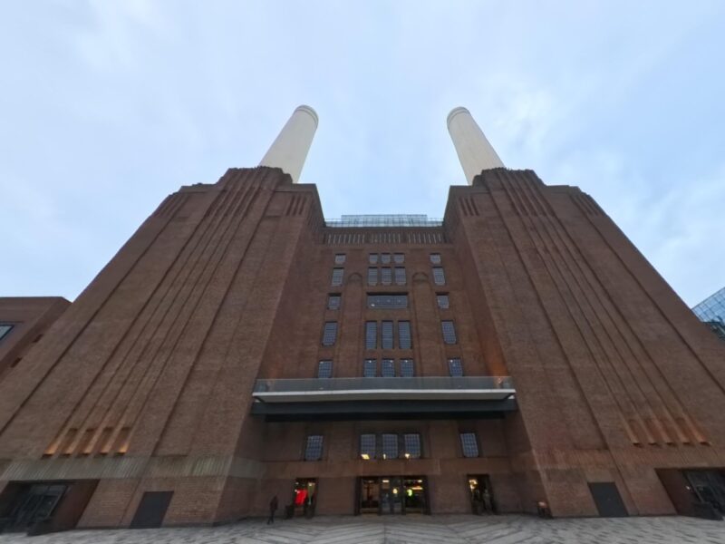
LDS were asked to carry out a topographic survey of the public space outside Battersea Power Station, between the power station building and the River Thames. Alongside the topographic survey, the client needed an accurate elevation drawing of the building’s north façade.
The survey was needed to help plan a light projection show on the power station. An event like this depends on reliable site information. The planning team needed accurate ground levels and features for the space in front of the building. They also needed the exact form and detail of the façade the show would be projected onto.
The Challenges
Measuring a façade of this size and detail by traditional methods alone would have been slow. It might also have left gaps in the record. Capturing it accurately called for a different approach to the ground survey.
The bigger challenge came during the survey itself. While our team were on site, the client doubled the area of topographic survey required. At that point there wasn’t enough time left in the visit to measure the extra area by total station. Coming back for a second visit would have added time and cost to the client’s planning programme.

The Solutions
A two-man team carried out the survey. They used a Trimble S5 total station for the topographic survey and a Trimble X12 laser scanner to capture the detail of the building façade.
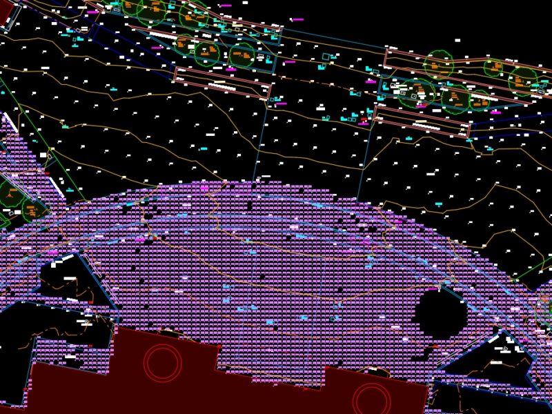
When the survey area grew, the team changed their approach on site. Rather than book a return visit, they carried out extra laser scans across the expanded area. That meant the rest of the topographic survey could be completed from the point cloud data. The site work was finished the same day.
The survey data was related to Ordnance Survey datum and grid via GPS. This means the drawings sit in the correct real world position and line up with other mapping and design information.
The Results
Back in the office, the data was processed and passed on to our drawing team. They completed the extended topographic survey using data from both the total station and the laser scanner. The two datasets were merged into one seamless and comprehensive survey. It came with the north elevation, which was also drawn from the scan data.
We also provided a geo-located photographic record of the survey area, directly related to our survey drawings. It lets everyone involved in the later design and planning stages view the site remotely, without another visit to London.
Final drawings were issued to the client within a week of attending site. The light projection show took place as scheduled and was a great success.


Start Your Survey Project Today
Get in touch with your site details and we’ll give you a quote, or call us on 01722 338232.
Contact