Boundary Surveys Explained – When Do You Need One?
If you’re buying or selling land, planning an extension, or applying for planning permission, you’ll possibly need a boundary survey as part of the process.
Most assume their Land Registry title plan shows precise boundaries – it doesn’t, and that vagueness causes problems when you want certainty.
Here’s why boundary surveys matter and when you might need one.
Why Boundary Positions Matter
Land Registry title plans show indicative boundary positions using what’s called the “general boundary rule” – they don’t provide precise measurements or locations. The red line on your title plan might be a couple of millimetres thick on paper, but that represents considerably more actual ground – sometimes even several feet. Moreover, by law Land Registry plans must be based on Ordnance Survey (OS) data, but OS do not work to the same accuracy that a land surveyor does. It’s quite normal to find that features mapped by OS are 1-5 metres different from their actual position. Many title plans are also based on out-of-date OS mapping – what then? Then there’s the question of what feature the red line actually represents – is it one face of the hedge or the other, the centre or the rootline? And what happens if that boundary feature gets removed?
For most people these questions never arise when you’re planning an extension close to your boundary or your difficult neighbour informs you that your garage is built on their land. The general boundary rule won’t give you the answers you need, and it’s time to call in a surveyor. Alternatively, if you are buying or selling land and you want to avoid nasty boundary headaches down the line, it’s worth getting the boundary features properly measured and having a survey professional produce and Land Registry compliant plan for you.
We record boundary features by measuring with GPS and total station equipment, then comparing these measurements with Land Registry title and transfer plans, historic mapping where available, and other on-site features.
Property Transfers
Sometimes, property purchases reveal boundary uncertainties during the conveyancing process. Your solicitor might notice discrepancies or there might be unregistered land involved. You may be splitting an existing title by selling part of your land and need a new title plan to reflect this.
Getting a boundary survey carried out and having Land Registry compliant plans drawn up professionally will help your completion go through on time and provide you with peace of mind over what land is being transferred and what constitutes the boundary.
Discovering after purchase that your boundaries aren’t quite what you thought they were, or that your neighbour has other ideas could end up embroiling you in a very costly legal process. It’s best to get it right at the beginning.
Lease Plans
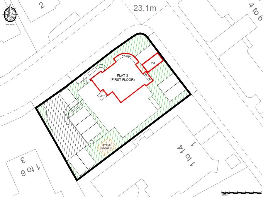
When negotiating with a new leaseholder both parties will want plans showing the areas covered by the lease, together with areas of shared access and communal spaces. We liaise with you and your solicitor to measure and categorise the building or land in question to ensure that the lease plan matches the legal requirements and wording of the agreement.
Planning Applications and Development
If you’re working on a development project, knowing where your boundaries are is important. Planning permission might hinge on how close your planned extension is to your neighbour or how overlooked they might be. For this sort of detail a topographic survey will provide you with the information that you need.
Creating Boundary Agreements
Sometimes, property owners want to establish boundary positions formally with neighbours. Perhaps you’re both planning extensions near the shared boundary, or you want to replace an old fence and want clarity about where it should go. Or maybe as part of resolving a dispute a new boundary line needs to be marked out on site.
We provide the accurate measurements you need to register any formal boundary agreements with the Land Registry:
- Exact positions established through professional measurement
- Documentation suitable for Land Registry registration
- Future certainty for both properties
- Prevents issues during future development or sales
Planning Your Project With LDS
At LDS, we complete boundary surveys for development projects, property transfers, and extensions across Wiltshire and beyond.
Whether you need accurate site plans for planning applications or want to establish boundary positions before building work starts, we can provide the measurements and documentation your project requires.
If you’re planning development work near your boundaries or need site plans for applications, contact our team to discuss your boundary survey requirements.